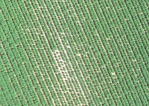
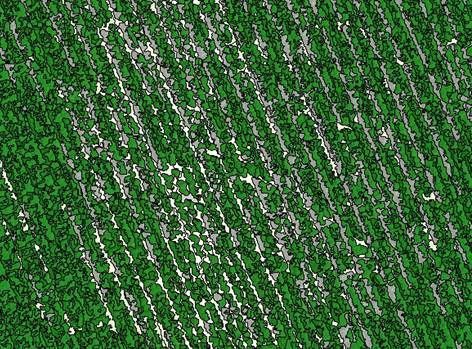
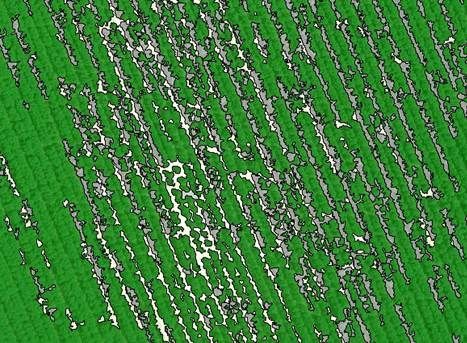
Data is captured using the very latest technology with a state of the art multispectral camera that captures images in a variety of wave-lengths. To the human eye these pictures will mean very little but once they are stitched together and processed the detailed analysis can be conducted. Together with expert agronomic analysis the images can be translated into something meaningful for the farmer and a bespoke solution can be offered. Typically the analysis will look at all aspects of monitoring plant health including fungal and nutritional stress, plant competition and insect affects. Additionally plant counting and flowering rates can be determined as well as mapping for game disaster, climate damage and irrigation systems.
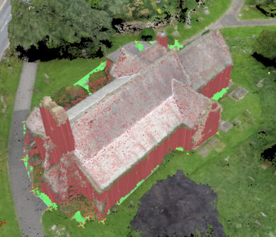
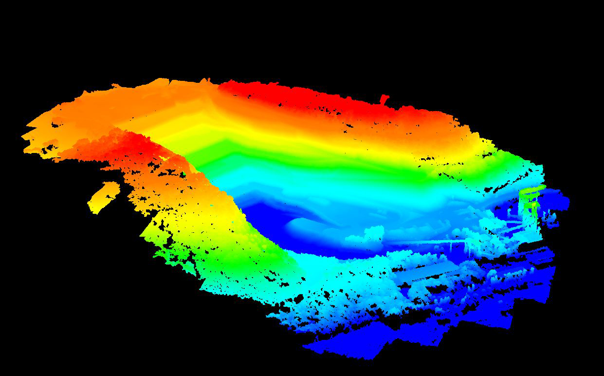
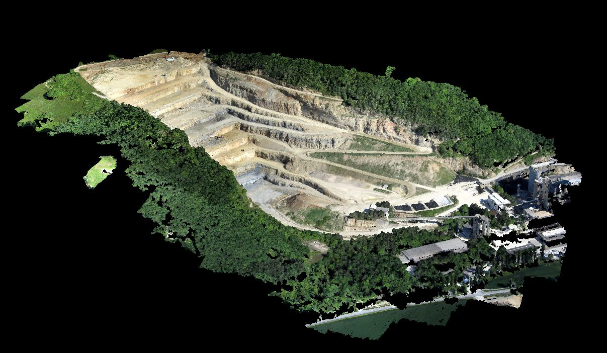
Using the latest in drone technology, Helishots can transform imagery into geo-referenced 2D orthomosaics, 3D point clouds, triangle models and digital elevation models (DEMs) with a Ground Sampling Distance (GSD) down to 1.5cm per pixel. Huge areas of up to 12 sq. km can be covered in a single flight of 40 minutes and can then be transferred immediately to clients for exploitation.