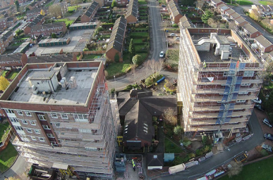
Capture that unique perspective that has only traditionally been available through dated stock imagery or significantly more costly methods such as helicopters or light aircraft.
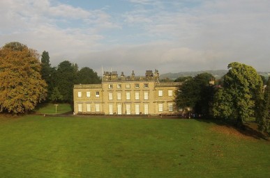
Helishots use the latest 4K cameras and editing software to ensure the footage you receive is of the highest quality available.

Specialists in data capture for crop surveys and 3D imagery, Helishots can supply agronomic data to increase crop yield or provide point cloud data for terrain mapping in numerous industries.